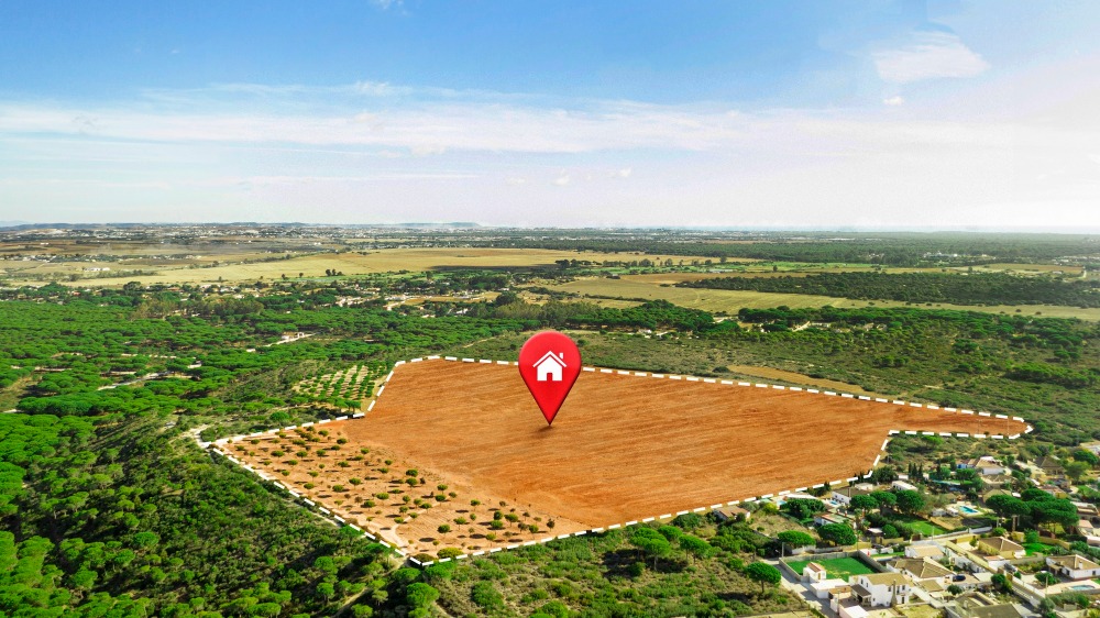
BASEPRO ENGINEERING LIMITED leverages Geographic Information Systems (GIS) and advanced geospatial technologies to enhance infrastructure planning, design, and management. Our services include engineering and topographic surveys, site mapping, and spatial data analysis, enabling precise visualization of terrain, utilities, and environmental factors for informed decision-making. We utilize remote sensing, drone mapping, and GIS-based monitoring to optimize project layouts, track construction progress, and manage assets efficiently. Whether for urban development, road networks, or water resource projects, our geospatial solutions improve accuracy, reduce risks, and ensure compliance with regulatory standards—delivering smarter, data-driven engineering outcomes for clients across Tanzania.